Congratulations! Taipei Water Department Wins Prestigious Special Achievement in GIS Award - Enhanced Service Quality through the "WISE" System!
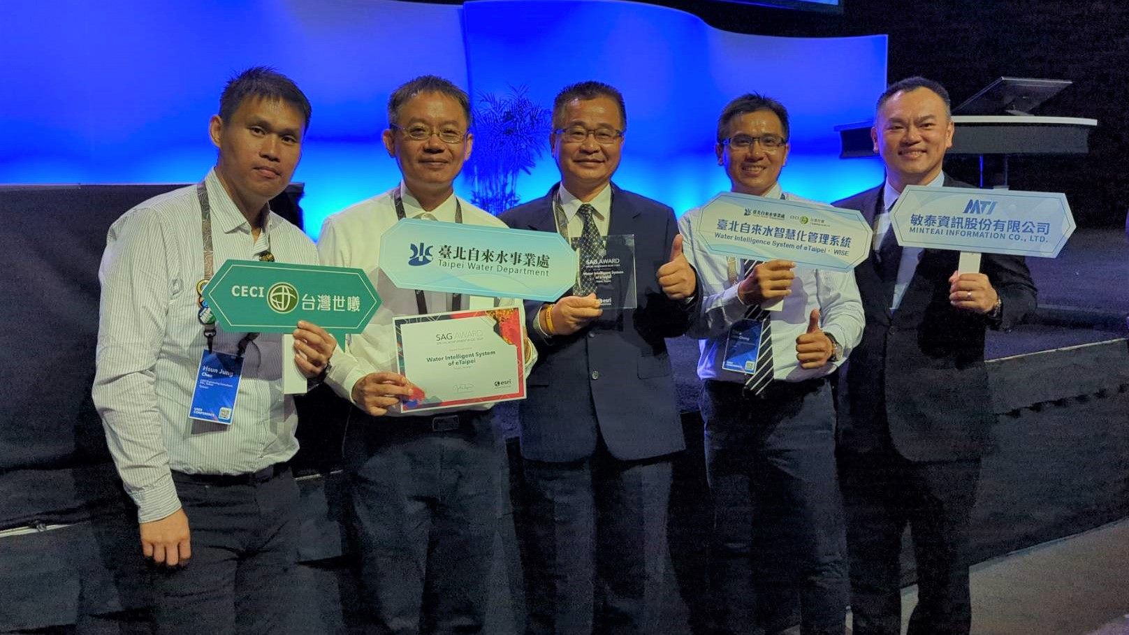
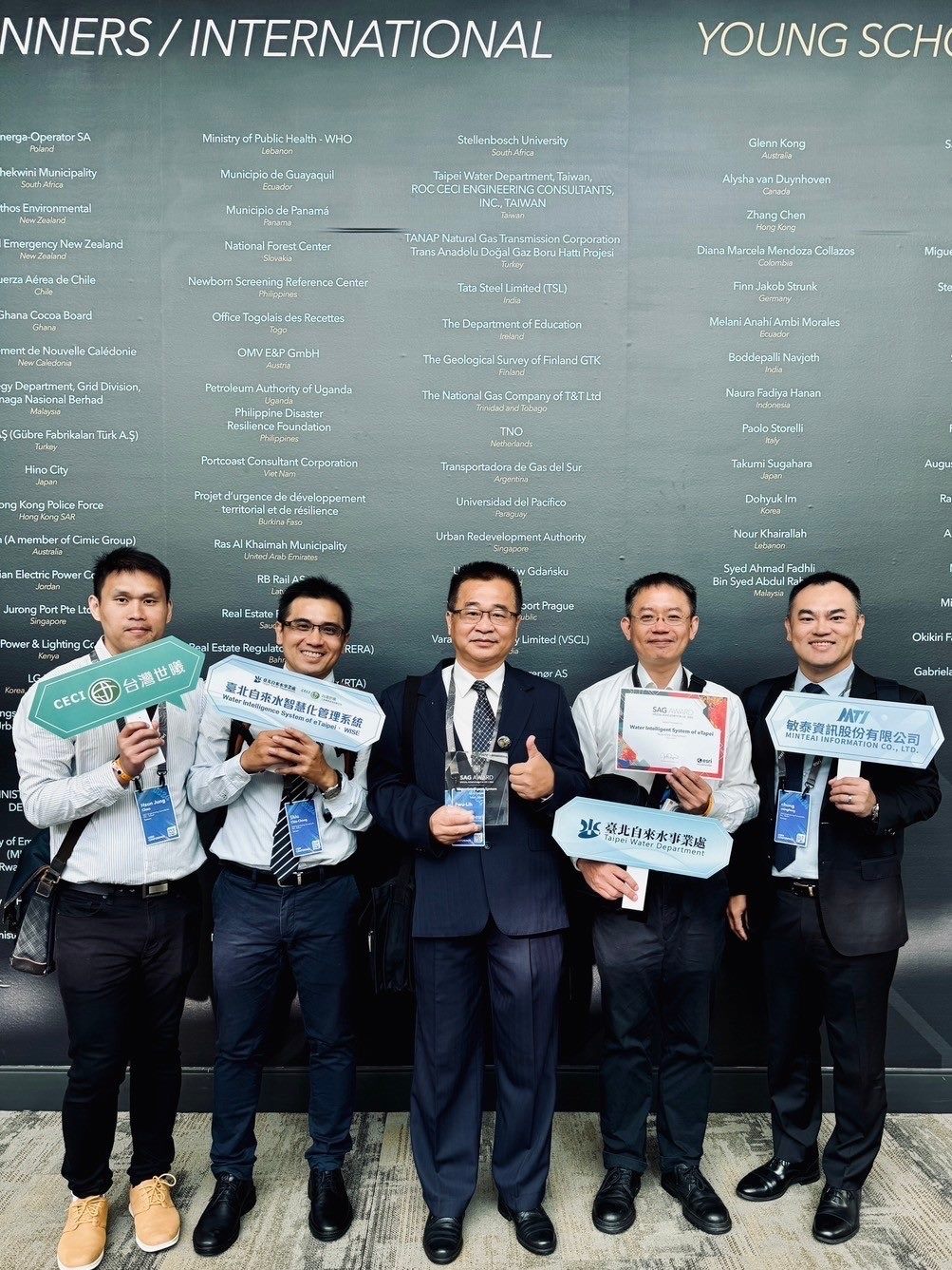
On the evening of July 17 (UTC-8), the Taipei Water Department was honored with the Special Achievement in GIS Award (SAG) in San Diego, USA. This esteemed award, presented by the Environmental Systems Research Institute (Esri), recognizes outstanding GIS projects selected from thousands globally. Chief Engineer Chiu Fu-lih accepted the award on behalf of the Taipei Water Department. The award-winning "Water Intelligence System of eTaipei (WISE)" was developed in partnership with CECI Engineering Consultants, Inc. This innovative system established a spatial database that transforms traditional static GIS electronic maps into data, enabling a series of data-driven advanced applications such as hydraulic modeling of pipe networks, AI analysis, IoT signal processing and integrates with the Department’s monitoring center, customer service and information management systems into the WISE platform. According to the Taipei Water Department, the application of digital twins allows for the integration of known instrument data for the invisible underground pipe network. Through hydraulic model analysis of more than 6,300 kilometers of the network's behavior by analyzing over 6,300 kilometers of pipeline network data—including water flow direction, rate, pressure, decay of residual chlorine, and disinfection by-products—the system aids in optimizing the water supply and stabilizing water quality in the Greater Taipei area. Engineers of the Taipei Water Department benefit from the system’s automatic generation of pipeline network models, which help in assessing local water pressure, identifying vulnerabilities, and improving pump operations, thereby enhancing overall network performance. Looking forward, the Taipei Water Department plans to expand the system with additional application modules. The award also provided an opportunity for the department to participate in the Esri conference, where they presented their GIS applications, including "Best Image" and "Best Map." Notable presentations included analyses of pipe network vulnerabilities and the Neihu water quality map, which was featured in Esri’s annual Map Gallery. The conference facilitated exchanges with international water and GIS experts, gaining insights into the development of geographic information and the integration of artificial intelligence applications, as well as discussing new technology implementation strategies, which is expected to further optimize the system and provide users with improved service quality.

![Taiwan.gov.tw [ open a new window]](/images/egov.png)